© AusilioPhotography
The river
The Common Meuse, located in the RivierPark Maasvallei, is one of the most distinctive parts of the entire Meuse River basin. The Meuse originates in France and winds its way through the Ardennes to the lowlands, eventually reaching the North Sea. From its source to its mouth, the Meuse spans about 875 kilometres. Its basin, or “Meuse basin,” covers roughly 33,000 km² (about the size of Belgium) and stretches across five countries: France, Luxembourg, Belgium, Germany and the Netherlands.
The unique shape of the basin—relatively narrow with a wider section near the Ardennes—means that almost 80% of the river’s flow originates from the central part of the basin. This is also where all major flood waves begin. In winter, the combination of meltwater from snow and heavy rainfall in the Ardennes can cause a rapid rise in water levels, as the Meuse is a “rain-fed” river. The strong meanders in this section of the Meuse have shaped the landscape of the Meuse Valley through frequent shifts in the river’s course.
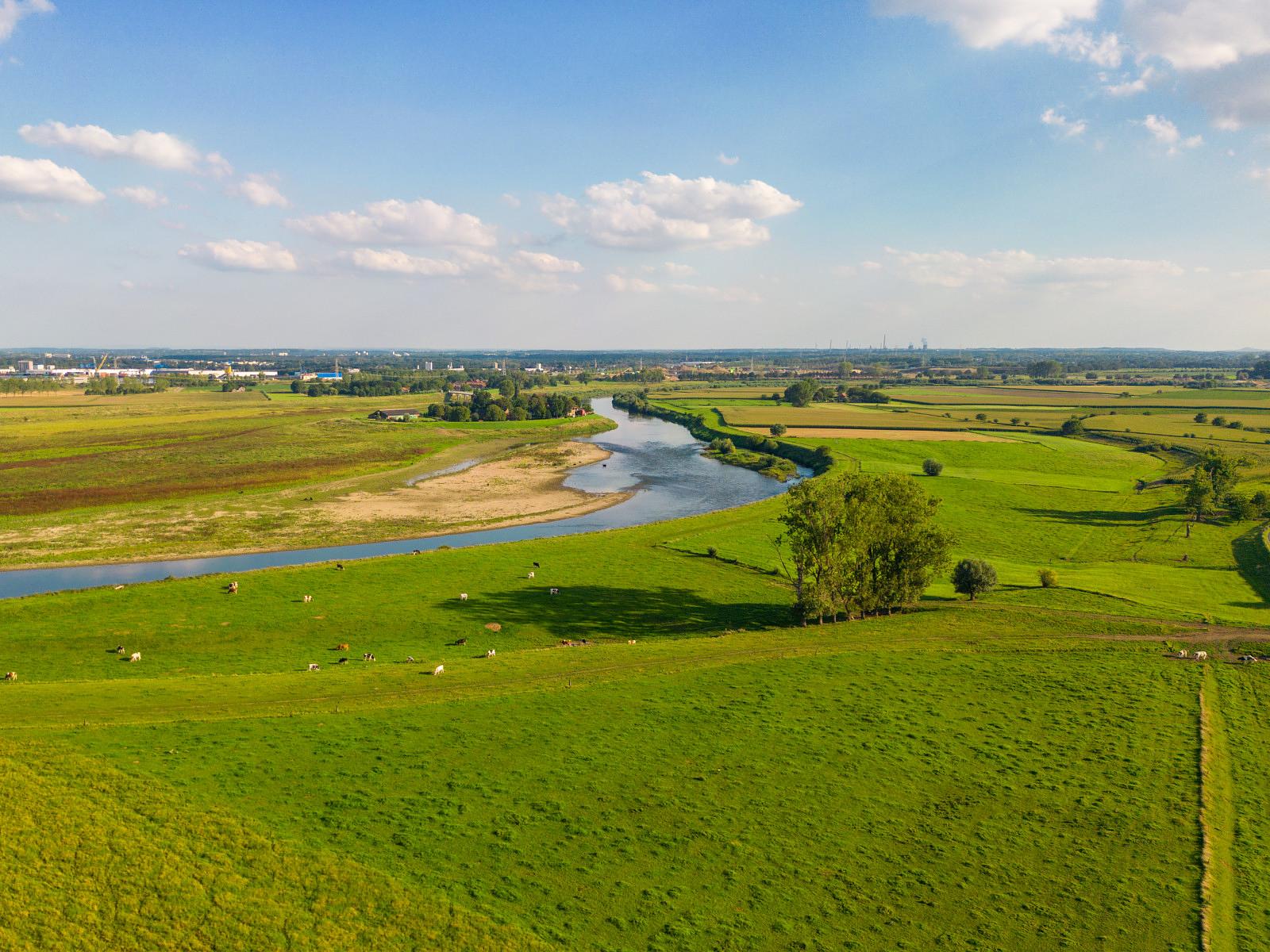
The section of the Meuse that flows through the RivierPark Maasvallei is known as the “Common Meuse”. In the Netherlands, this part is also known as the Grensmaas (Border Meuse) because, for about fifty kilometres, the river forms the border between Flanders and the Netherlands. The Common Meuse begins just after Maastricht, where the valley broadens significantly. Initially, the valley slopes are still several meters high, but they gradually level out and eventually disappear. Since the early days of industrialisation, shipping along this part of the Meuse has been diverted through canals, leaving this stretch of the river as the only section between Commercy and the Lower River region where the Meuse still flows freely!
In the 19th and 20th centuries, industrial development and urbanisation focused primarily on coal mining in places like Eisden and Stein, just a few kilometres from the river, as well as along the canal banks. This meant that the landscape immediately surrounding the river was spared from extensive urban expansion. However, during the 20th century, the river became increasingly confined, with its width reduced to about 50 metres. Land use crept closer to the banks, the river deepened its course and the ecological value of the river suffered dramatically.
Europe's largest river restoration project
Even before the devastating floods of 1993 and 1995, plans were in place to give the river more space to buffer excess water during heavy rainfall. This buffer capacity is lacking upstream, where large cities like Liège and Maastricht confine the river
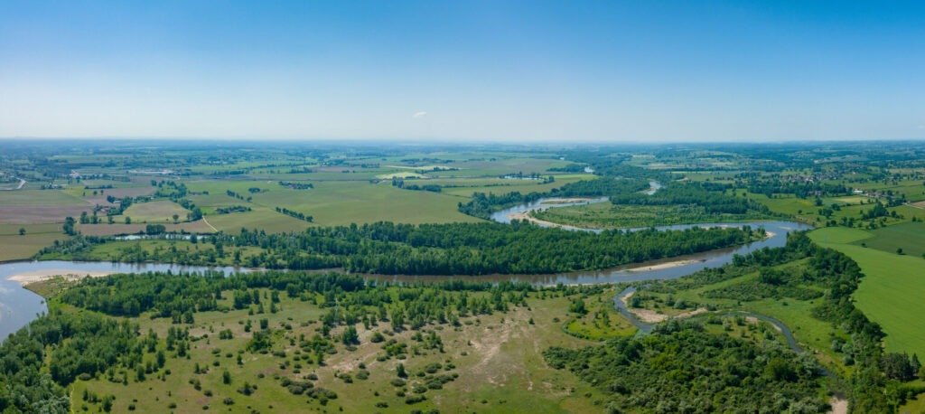
From the start, nature development and biodiversity restoration were key priorities in the restoration plans. Historical river maps were studied, and reference rivers like the Allier in France (see photo) served as inspiration. After the floods, the Grensmaas project (NL) and various restoration projects on the Flemish bank were put into motion. These plans were carefully coordinated and executed in close collaboration with the gravel industry. After all, actions taken on one bank affect the other bank.
Many of these plans are still being carried out today, making this the largest river restoration project in Europe.