© Jorgo Kokkinidis
Current Alerts
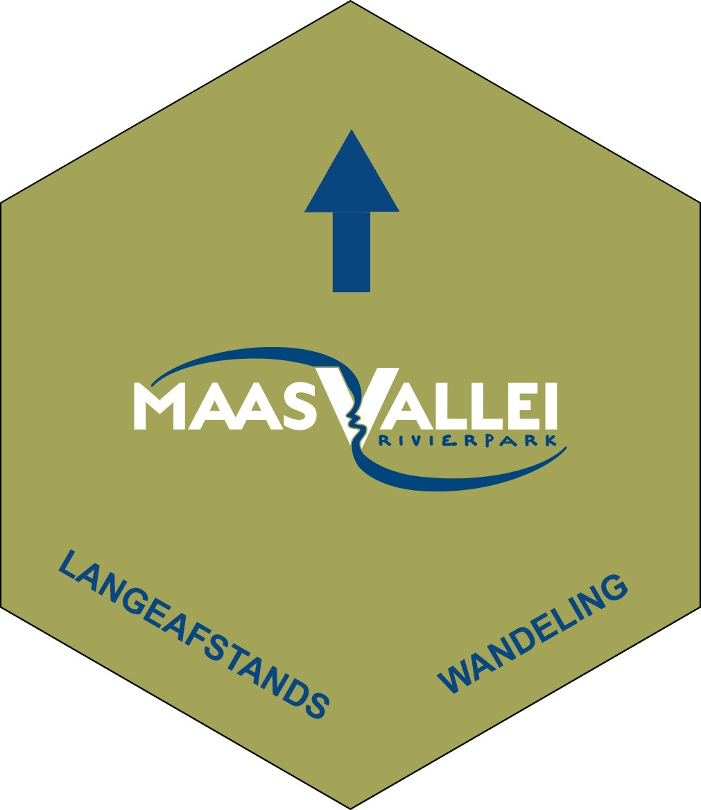
- New LAW signage ! The signage is currently being replaced. You will find both the new (white hexagonal signs) and the old (green hexagonal signs) on site. Download your GPX here before you set off.
- From 1 July to 29 September, the Labaerdijk in Maaseik will be closed to cyclists and pedestrians. This is to ensure that work on the new Maas bridge can proceed safely. A diversion has been put in place (on the other side of the road). Please follow the signs on site.
Long distance hike
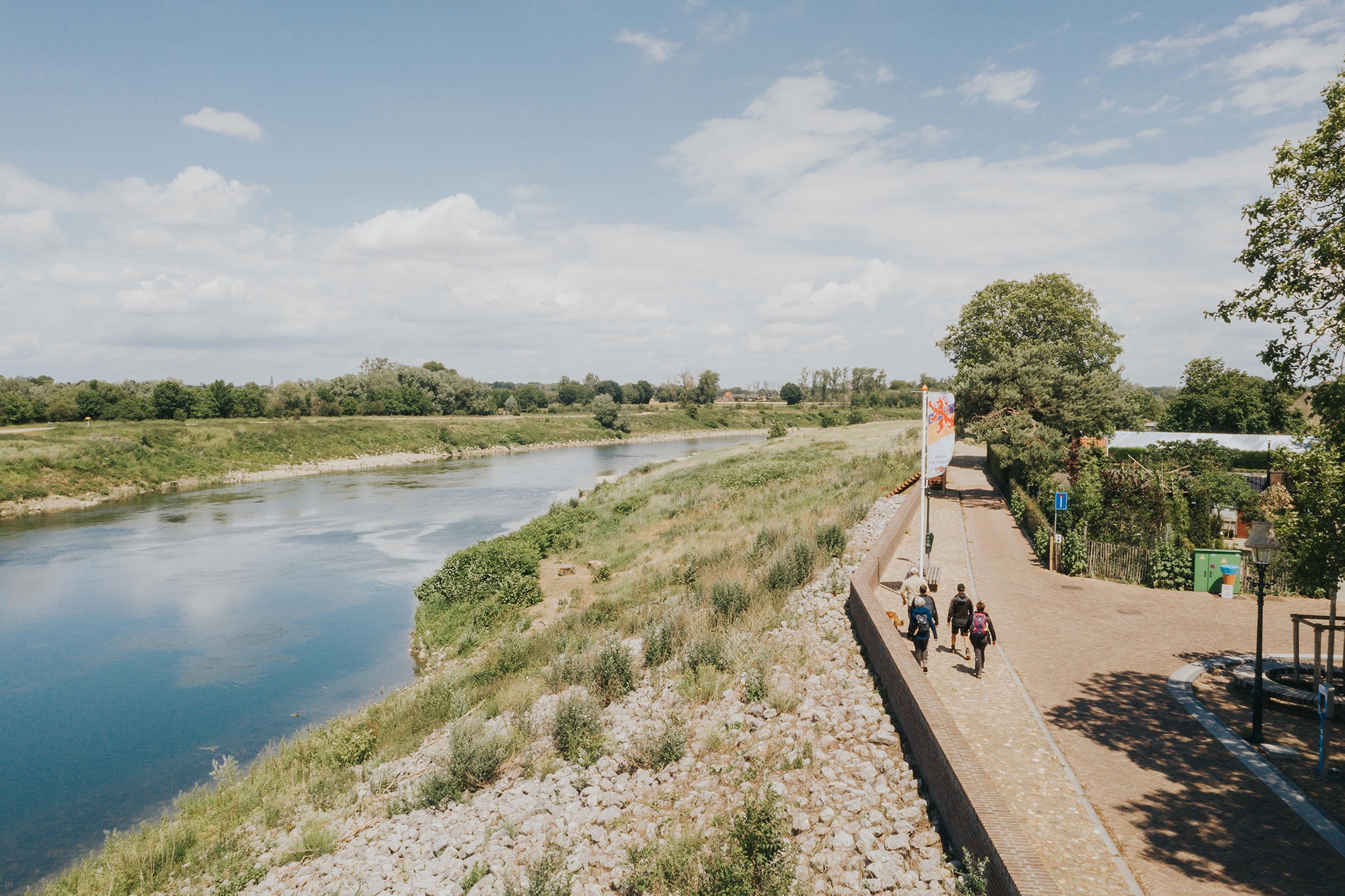
Especially for lovers of multi-day hiking trips, the Long Distance Hike was developed. This cross-border trip of 137 km connects the 11 municipalities in the RivierPark Maasvallei and brings you past the most beautiful landscapes and charming villages. In April 2021, the hike was voted “Best hiking route in the Benelux”.
The hiking route is signposted in both directions with the RivierPark Maasvallei logo. You can shorten the route at various points, allowing you to complete the Long Distance Hike in shorter stretches. During rainy seasons, some areas may be inaccessible. With the “dry feet tool”, you can check in advance whether a walking area is flooded after heavy rainfall. If so, it is best to follow the high water alternative (adapted signage).
The map above shows the long-distance hike, high-water alternative, shortcuts and approach routes. By zooming in on the map and then clicking on one of the routes, you can see more details about that specific route. The starting points, benches, water taps and ambassadors (overnight stops) are also indicated.
Way-finding
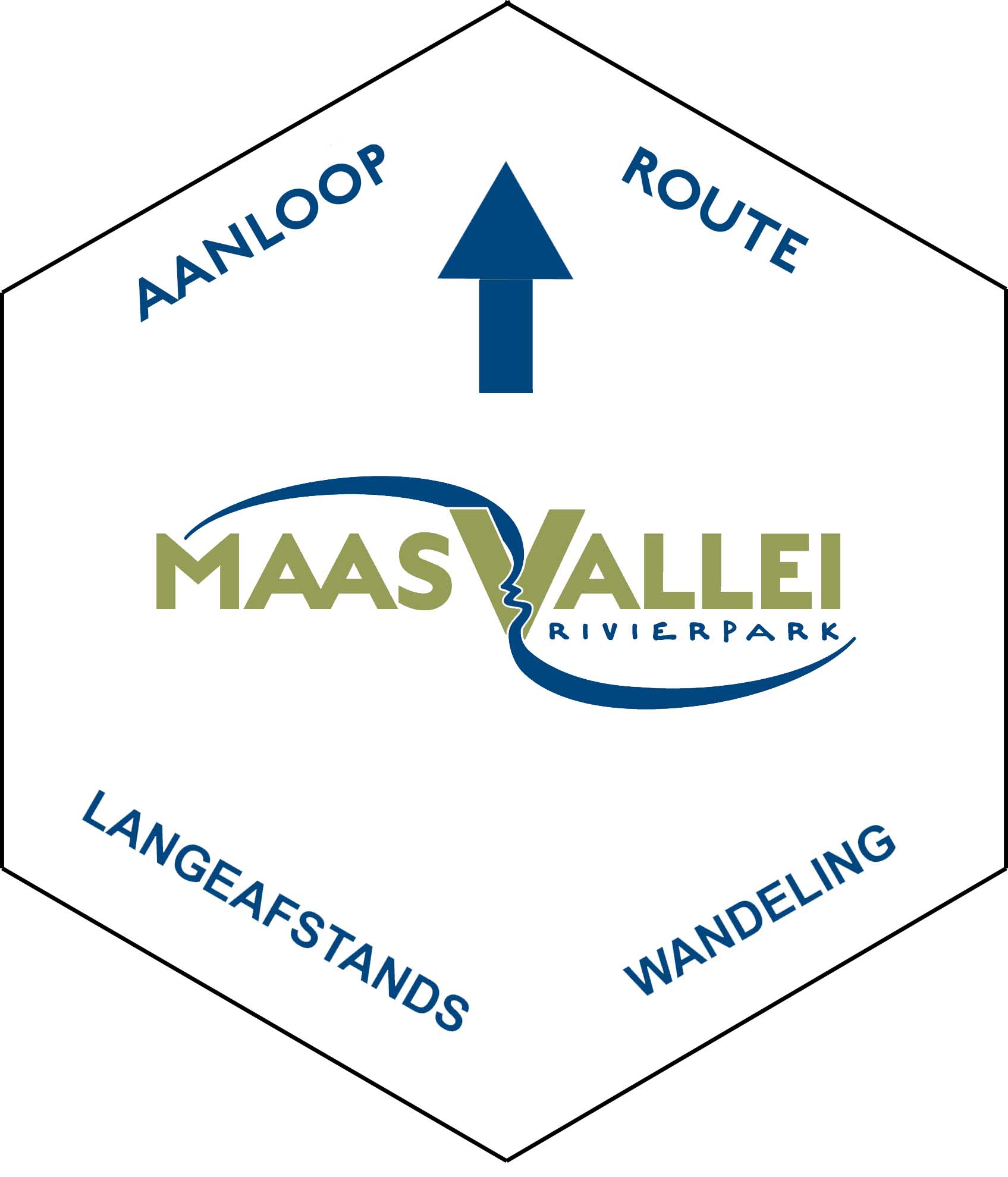
- The long-distance hike is signposted along its entire length and in both directions with hexagonal white signs bearing the RivierPark Maasvallei logo, see image opposite
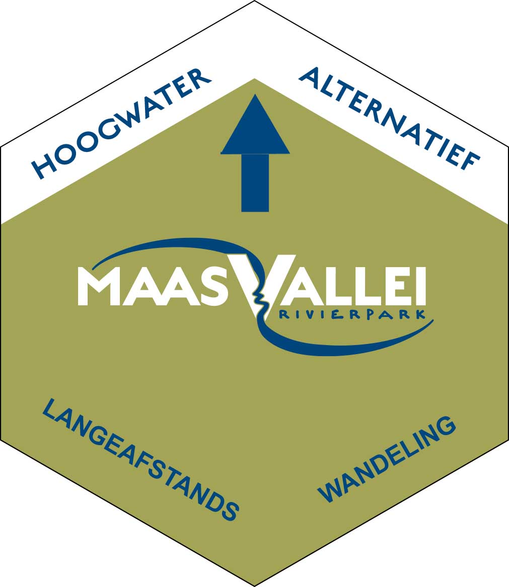
- During rainy seasons, some areas may be inaccessible. In that case, follow the modified signage – high water alternative – (hexagonal white signs with a blue upper edge marked “high water alternative”)
- Starting from a few starting points (including Maastricht Station and Sittard Station), you must first follow a short approach route that will take you to the main route of the long-distance walk. These approach routes are indicated by hexagonal hexagonal white signs with a blue top edge marked “aanlooproute” (approach route).
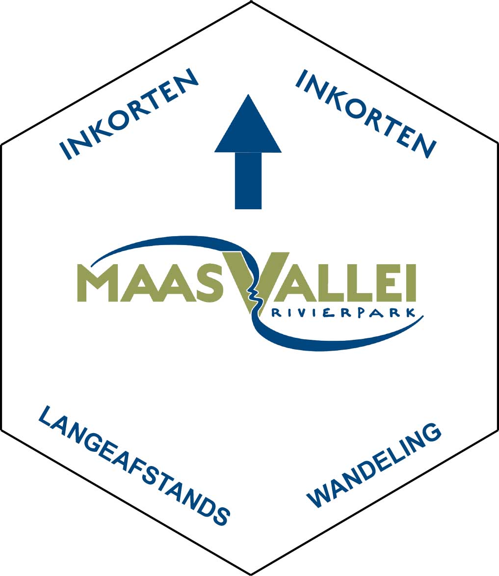
- It is always possible to shorten the route via the ferries and bridges over the Meuse. To do so, follow the modified signage (hexagonal, white signs with a blue top edge marked “shortcut”). Before you set off, be sure to check the ferry timetable on the website to make sure the ferries are running.
- PLEASE NOTE: The old green signs are currently being replaced, so you may still encounter them. These are hexagonal green signs with the old RivierPark Maasvallei logo on them.

Where to start?
It is best to start the Long Distance Hike at one of the designated starting points. Most starting points are located along the route. Starting from a few locations, such as Maastricht and Sittard stations, you will first need to follow a short approach route that will take you to the main route of the Long Distance Hike.
Starting points along the route:
- Kessenich – instapplaats Steegputstraat Thorn (P1) – 6017 AV Thorn
- Kessenich – instapplaats Ophoven (P4) Maasstraat 81 , 3640 Kessenich (Kinrooi)
- Aldeneik – startplaats ‘Heerenlaak’ (P5) Houtweg, 3680 Aldeneik (Maaseik)
- Elen – startplaats ‘kerk Elen’ (P7) Bergerkampstraat , 3650 Elen (Dilsen-Stokkem)
- Stokkem – instapplaats ‘De Wissen’ (P10)
- Leut – instapplaats Dorpsplein Leut (P13) Sint-Pietersstraat , 3630 Maasmechelen
- Itteren – instapplaats kruising Brigidastraat met de Ruyterstraat
- Kasteelhoeve Hartelstein – Hartelstein 204, 6223HV Maastricht
- Maasband – instapplaats Maasbanderkerkweg, 6171 RP Stein
- Veerpont Berg aan de Maas – Berger Maasstraat , 6129 BC Stein
- Hompesche molen – Molendijk 6, 6107 AA Stevensweert (Maasgouw NL)
- Roosterhoeve – Hoekstraat 53, 6116 AW Roosteren
- Stevensweert – Startplaats Sportlaan, Sportkaan z/n, 6107 AA Stevensweert
Starting points with approach route (and signage):
- Kasteel Elsloo – Maasberg 1, 6181GV Elsloo
- Maastricht station – 6221 BT Maastricht
- Oud-Rekem – instapplaats Dorpsplein Uikhoven (P17) Paanhuisstraat , 3631 Maasmechelen
- Oud-Rekem – instapplaats Kanaalzone (P18) Kanaal , 3621 Lanaken
- Kessenich – startplaats Douanekantoor Kessenich (P3) Venlosesteenweg 403 , 3640 Kessenich (Kinrooi)
Starting points with approach route (without signage):
An indispensable tool when preparing for your trip is the hiking map “Long-distance hike. 137 km of cross-border hiking pleasure” (6 euros).
Hiking package
Would you like to go on a long-distance hike, but don’t have the time or fancy figuring everything out yourself? We have a ready-made package for you that includes the highlights of the RivierPark Maasvallei. Check out the 3-day/2-night hiking package here.

download route
- Long distance hike RivierPark Maasvallei
- Long distance hike RivierPark Maasvallei – High water alternative
All our hiking routes are also available on Komoot and in the Komoot app, allowing you to easily navigate through the nature reserves. Here you will find various suggested routes that utilise the shortcuts provided by the ferries. Please check in advance whether the ferries are operating.
More information about Komoot can be found here. Here you can also request a free region package worth £8.99.
Hiking route flooded? Check here
From now on, you can check in advance whether a walking route or walking area is flooded after heavy rainfall.
On the map on the right – the Dry Feet tool – you will find an overview of the various measuring points and their current status (dry, just flooded, under water). At the top of the black bar, you can filter the measuring points by municipality.
The tool can also be consulted on the go. This allows you to be fully prepared before setting off and avoid getting your feet wet along the way!
The Dry Feet tool was developed in collaboration with Overlopen.info.
Practical information
- Dogs are welcome on a leash
- Keep a sufficient distance from large herbivores
- Sturdy shoes or boots are recommended, especially after periods of heavy rain
- Beware of ticks and processionary caterpillars
- Remember to bring sunscreen and a hat during the summer months
- Before you start, take a look at the top of the page and our news overview for any roadworks/diversions on the route.
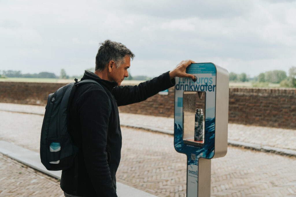
Water taps
In a number of Meuse villages, you will find water taps along the way. Here you can refill your water bottle safely and for free. You can find the water taps at the following places:
- Stevensweert (at De Maasparel primary school)
- Aldeneik
- Grevenbicht (veerweg)
- Stokkem (at Visitor Center De Wissen)
- Obbicht (market)
- Maasband (Maasdijkweg/Maasbanderkerkweg): nearby: tree monument Meers, Maaskruis Vucht opposite.
- Leut (the water pump on the village square is a water tap point)
- Itteren (‘t Brook, Brigidastraat)
More info on the website: www.drinkwaterkaart.nl
Ambassadors
Some entrepreneurs in the Meuse Valley pamper long-distance hikers with, for example luggage service. Contact them directly to discuss how they can help you:
- B&B Haerlekijn, Meeswijk (Maasmechelen)
- B&B Overmunthe, Urmond (Stein)
- De Sjeiven Dörpel, Aldeneik (Maaseik): lunch packages, luggage service
- De Roosterhoeve, Roosteren
(Echt-Susteren): luggage service on request - B&B Orgel Thuis (Kinrooi): package deals, lunch services
- B&B Bie Janssen (Stein)
- B-S Express: luggage- and people transportation
(tel: +31-(0)6-2147 7818, info@bs-express.nl
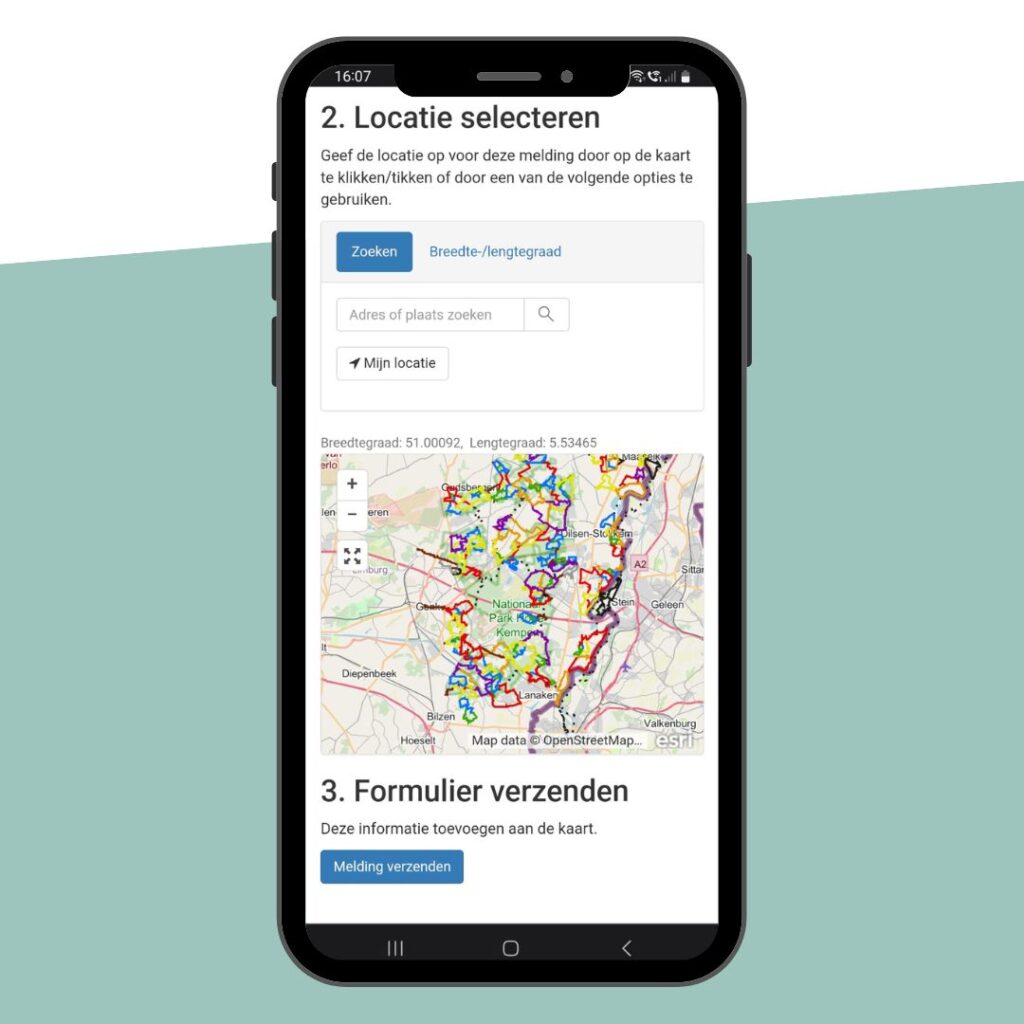
Reporting route issues
Would you like to report a problem on our hiking trails, such as signage, infrastructure or a difficult passage? Please fill in the online report form to let us know. Here’s how:
- Go to the online form via the button below.
- Describe the problem.
- Indicate the location on the map (turn on location services on your smartphone).
- Add a few photos if necessary
- Send your report
Your report will help us improve the quality of the hiking route network.
TIP: do you regularly go walking in the RivierPark Maasvallei and do you want to be able to find this page quickly? Add this page to your smartphone’s home screen! To do this, tap the three dots in the top right-hand corner and select “Add to home screen”.