© Ben Creemers
Borgharen and Itteren
About the villages
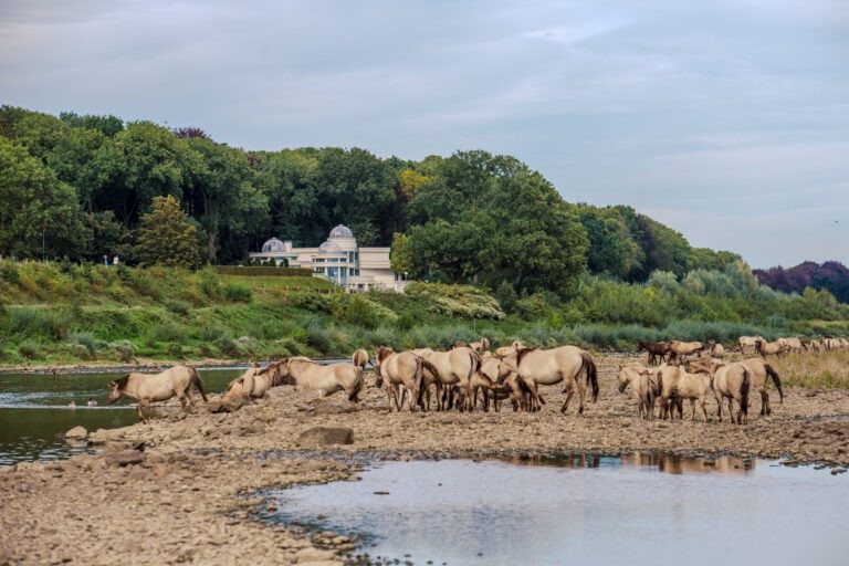
Borgharen (Limburgish: Hare) and Itteren are two historic church villages located on the northern edge of the Maastricht municipality. Both villages boast a rich history, highlighted by the Borgharen and Hartelstein castles, which have played significant roles in the region since medieval times. In 2010, an unusual mass grave containing the remains of at least 69 horses, dating from the 16th or 17th century, was uncovered on the Eastern Ridge between Spekstraat and Pasestraat in Borgharen. These remains are believed to be linked to either the Siege of Maastricht in 1632 or the French siege led by Louis XIV in 1673.
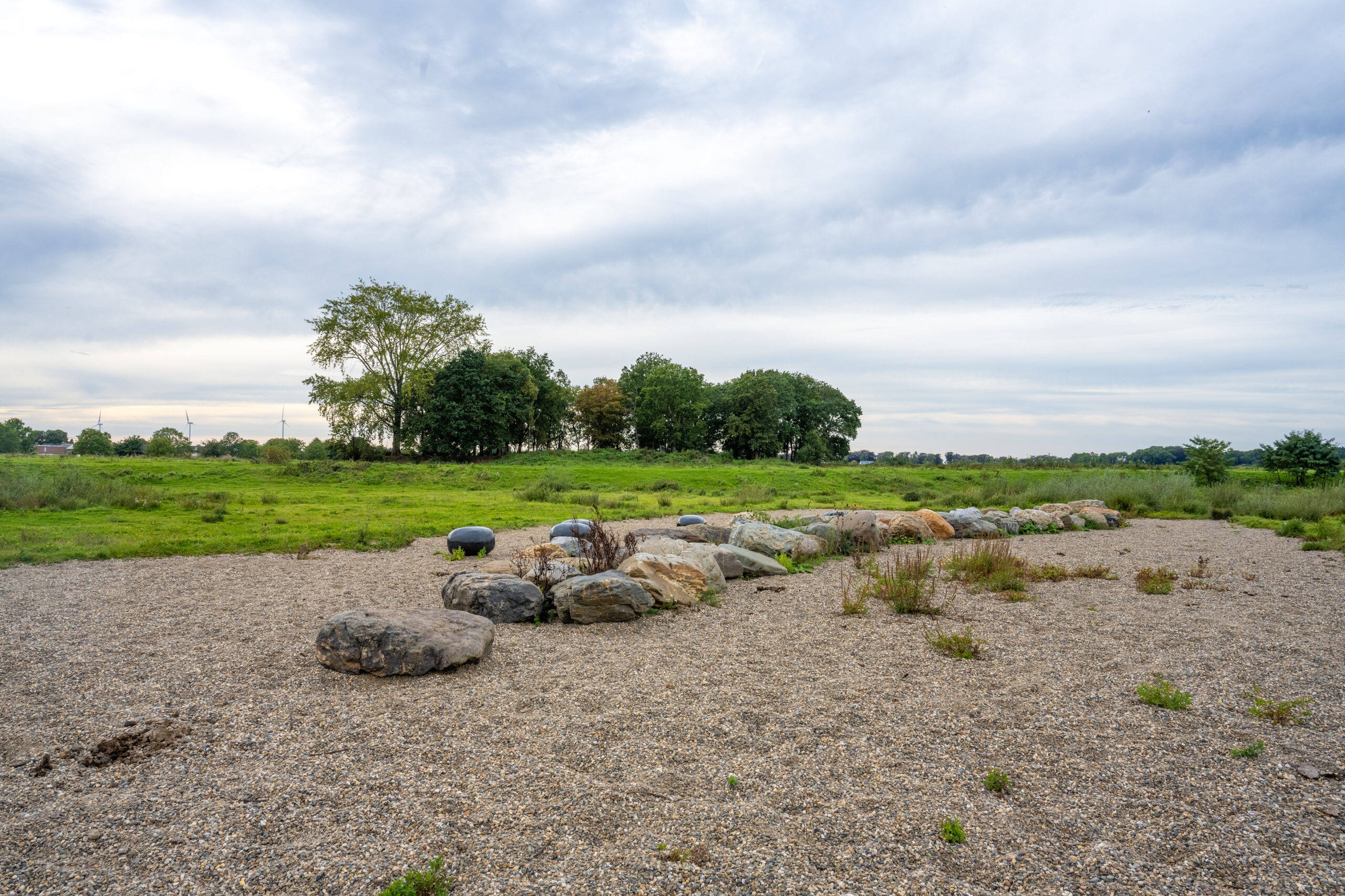
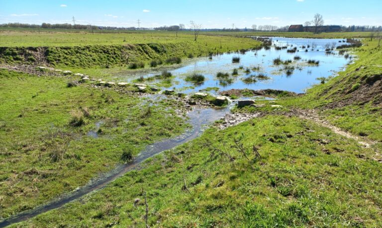
Both Borgharen and Itteren suffered from extreme flooding in 1926, 1993, and 1995. To the north of Itteren lies Hartelstein Castle Farm. Here, the Geul River flows by, eventually joining the Meuse further downstream near Voulwames. Until 2018, gravel was still being extracted around the farm as part of the Grensmaas Project, an initiative to give the Meuse more space during high water. The natural development you see here is therefore still very ‘young’.
Available activities
Hiking
The open areas around Borgharen and Itteren are perfect for exploration on foot. Feel free to wander off the beaten path as you make your way to the riverbank! Just remember to maintain a distance of about 20 meters from the large grazing animals that roam in herds here. Highlights include:
Discover the Borgharen hiking area, where you’ll find free-roaming large grazers, wild landscapes, the historic horse grave, Hartelstein Castle Farm and the charming villages of Itteren and Geulle aan de Maas.
Download the free Archeoroute app to bring the Horse Grave and Roman villa back to life (the Archaeo spears north of Borgharen point the way).
Join a guided tour led by a Meuse Explorer.
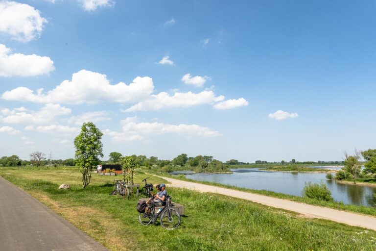
Cycling
The extensive cycling network connecting Belgium and the Netherlands allows you to plan your own route by following clearly marked junctions in both directions. Set your own route length and direction, and take a ferry across the Meuse to explore the opposite shore —making cross-border cycling through RivierPark Maasvallei as easy as ever.
Start your journey from junction 14 in Bunde. Parking is available on Middenstraat in Borgharen or at Kerkplein in Geulle aan de Maas. You can also map your route with the RivierPark Maasvallei cross-border cycling map.
Points of interest
Hartelstein Castle Farm: thrift store, archaeological artefacts.
- Visit Maastricht: museums, shops and dining options.
Borgharen Castle is currently under restoration but occasionally open to the public.
For more information and tips, visit Visit Zuid-Limburg