© Ben Creemers
Stevensweert and Roosteren hiking area
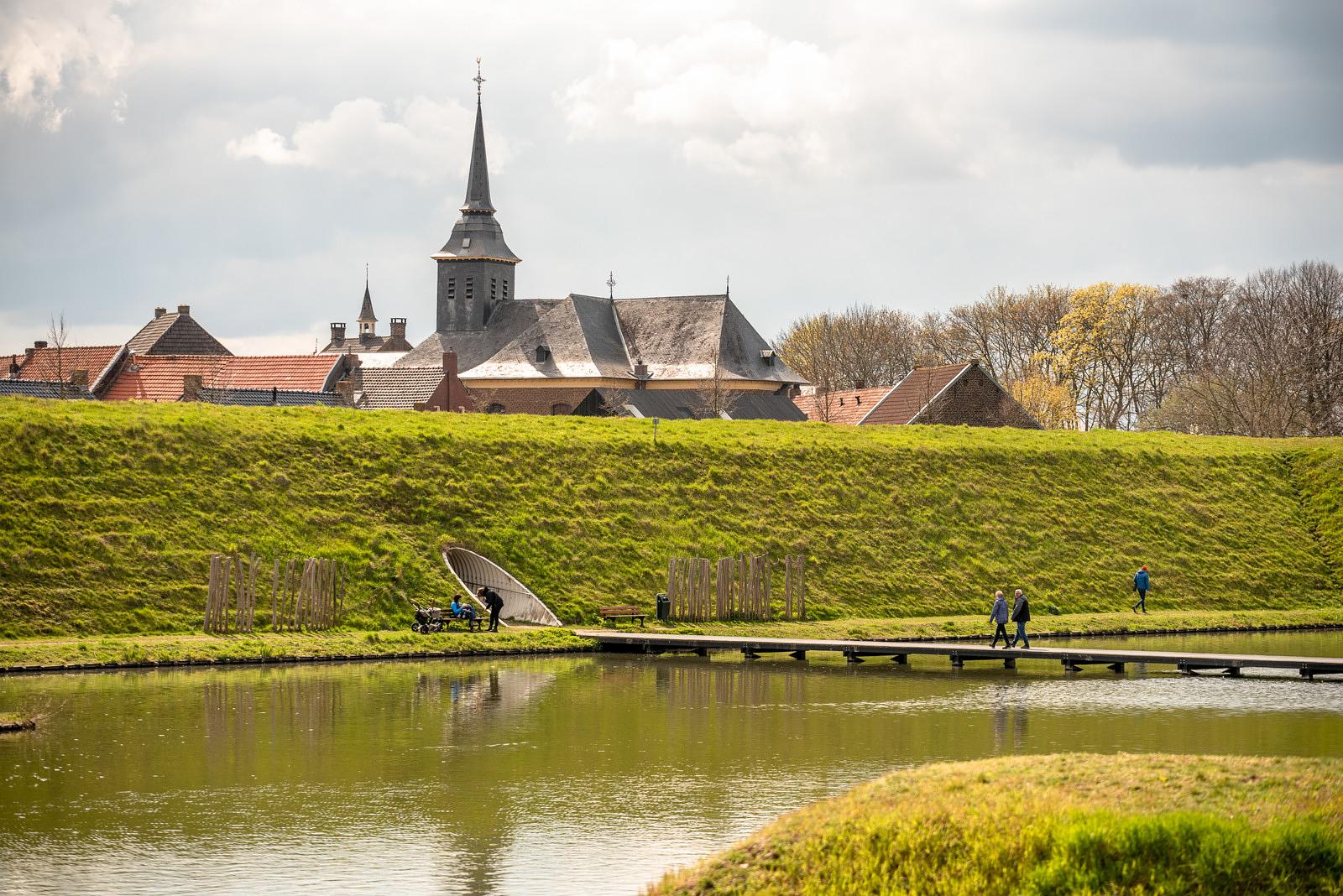
The villages of Stevensweert and Ohé en Laak sit on an “Island in the Meuse”, surrounded by the Border Meuse River to the west in the Meuse Valley River Park and the Old Meuse to the east. Because of this natural water barrier, the island historically served as a highly defensible, strategic location.
Hiking
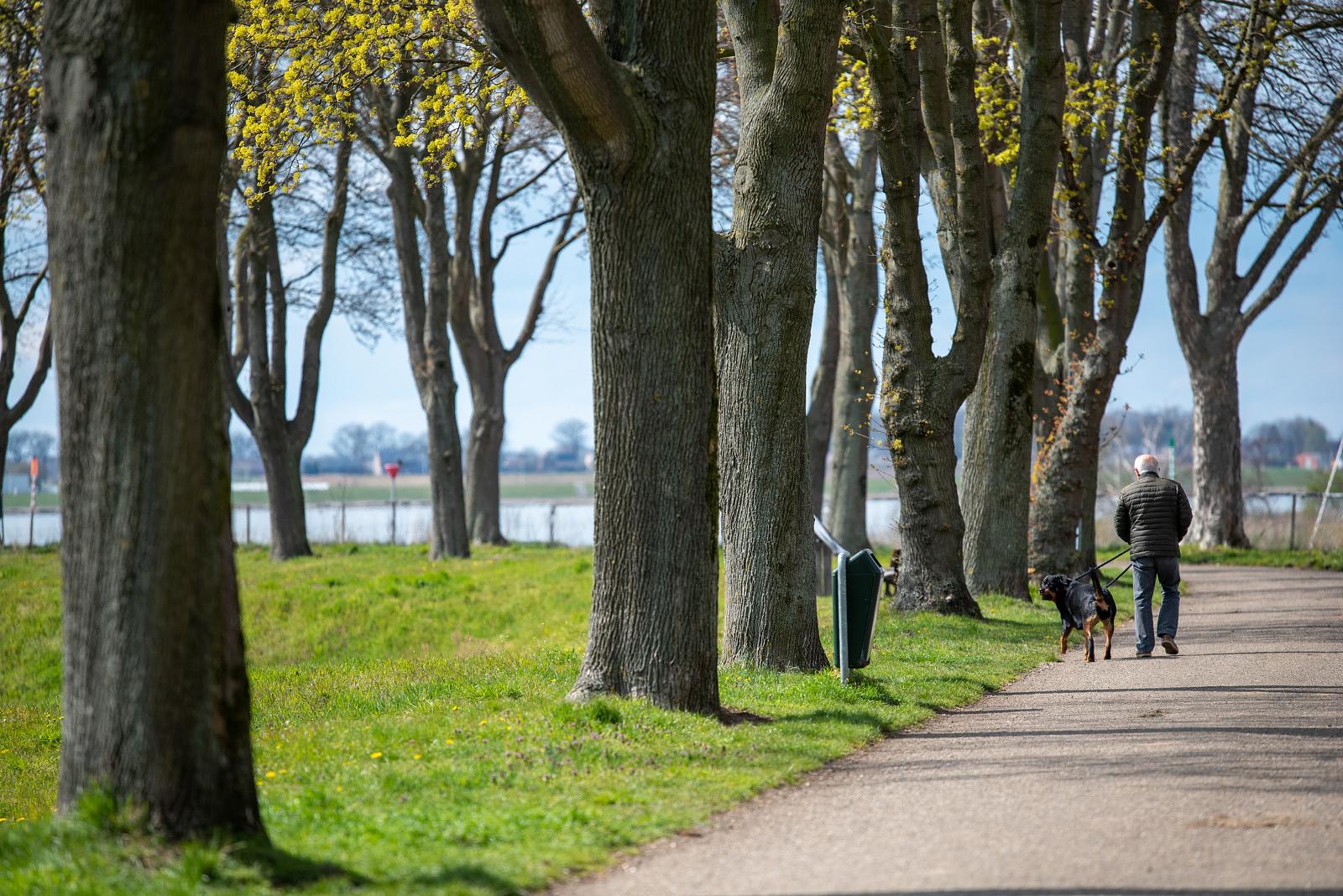
In the Stevensweert–Roosteren walking area, you can use the junction node walking system, a network of trail points across the Echt-Susteren and Maasgouw municipalities. This system allows you to fully tailor your walk by choosing your starting point, direction and the length of your walk.
If you prefer a pre-planned route, there are three scenic options:
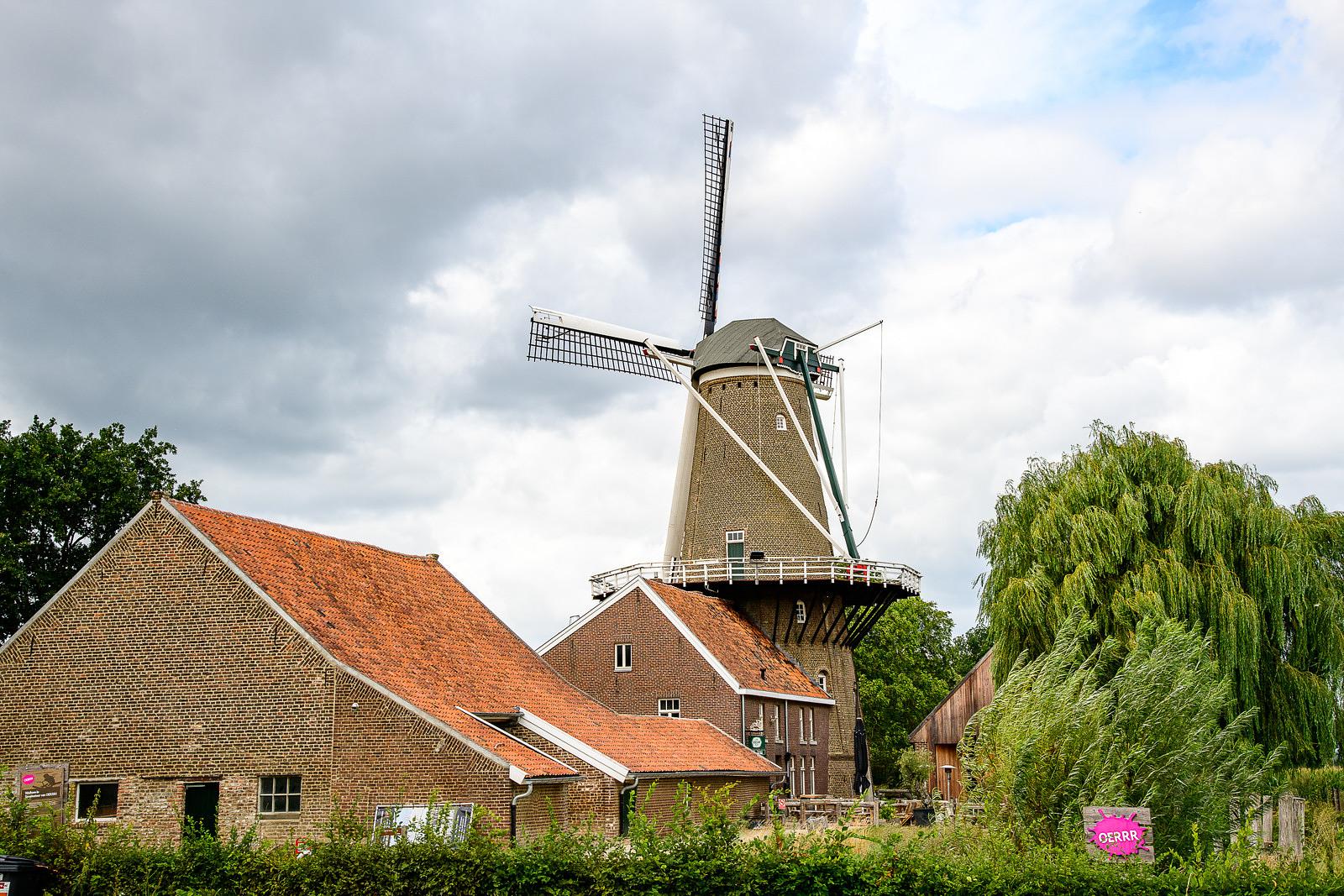
The Molenplas Loop (5,3 km): This trail circles the Molenplas Lake at the Hompesche Mill in Stevensweert, leading you along banks rich with wildflowers and herbs.
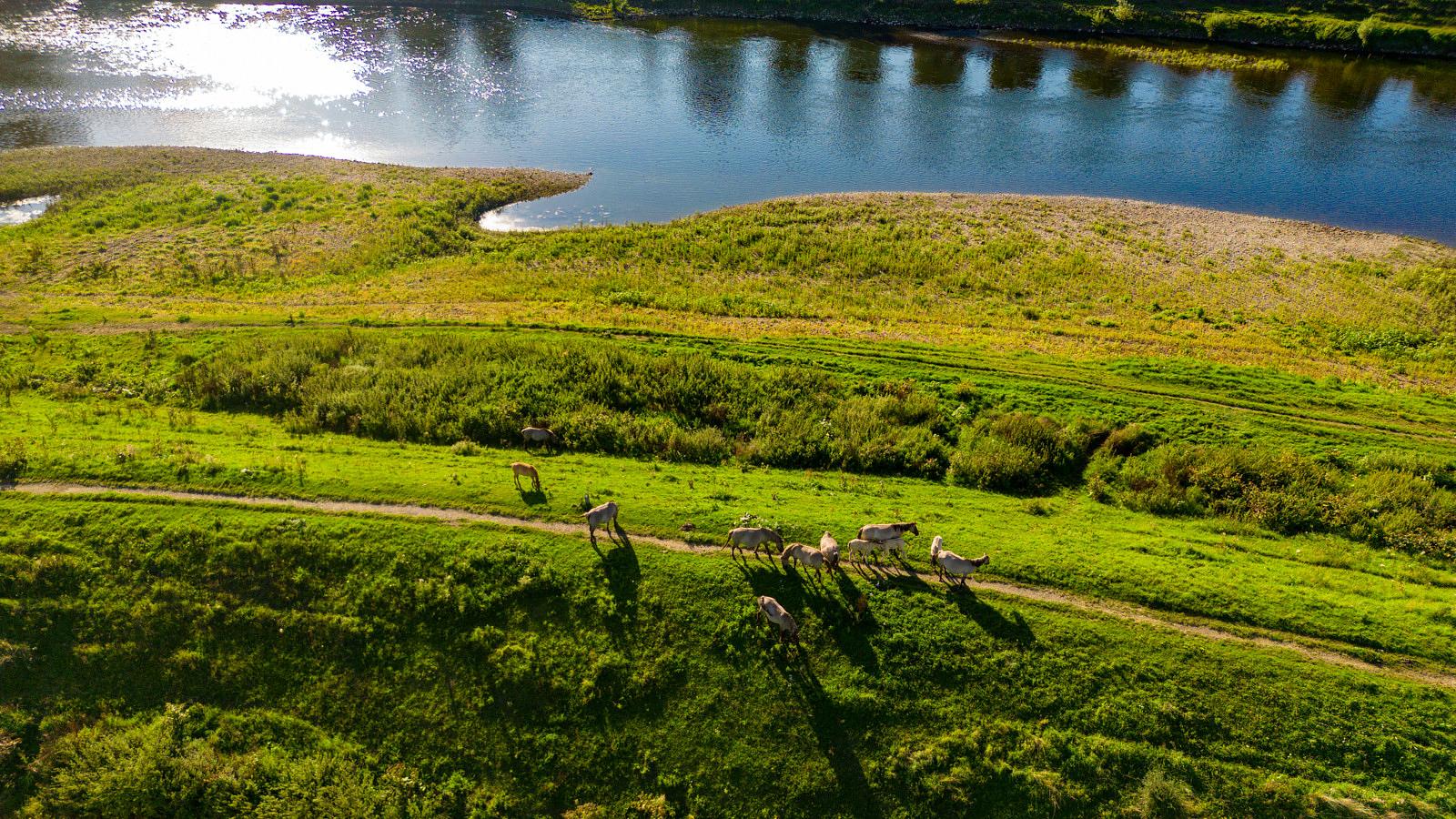
The Maasdal Trail (5,6 km) in the Echt-Susteren municipality, this path passes through Roosteren and the lush meadows along the Meuse, where Konik horses peacefully graze.
The Soldiers’ Path (11,8 km). This historic trail is not a loop but a linear path once used by soldiers during the Eighty Years’ War, connecting Stevensweert to Fort Cantelmo, just north of Roosteren.
These routes, along with more details, can be found on the hiking map Stevensweert-Roosteren.
Accessability and parkings
Starting points
Parking Sportlaan, 6107 AA Stevensweert (Maasgouw)
Parking Hompesche Molen, Molendijk 6, 6107 CM Stevensweert (Maasgouw)
Parking Roosterhoeve, Hoekstraat 29, 6116 AW Roosteren (Echt-Susteren)
Parking Het Maashöfke, Illikhoven 14B, 6116 AL Roosteren (Echt-Susteren)
Nature along your way
During the Eighty Years’ War, the Spanish made strategic use of the island in the Meuse for their campaign against Prince Frederick Henry. In 1633, under Francisco de Moncada, Marquis of Aytona, they aid siege to Stevensweert and transformed it into a fortified town. Later, several landmarks were built here, including the government building (1732), the Catholic St. Stephen’s Church (1781) and a Protestant church (1819) at Jan van Steffeswert Square. The former town hall, designed by architect Pierre Cuypers, now serves as the Stevensweert–Ohé en Laak Regional Museum, where the history of the Island in the Meuse is showcased.
Roosteren, located at the far northwest of the Echt-Susteren municipality, is even closer to the Belgian town of Maaseik than to the Dutch town of Susteren. This “Narrowest Point of the Netherlands” offers much to explore, including two castles: the white Castle Eijckholt, hidden behind historic walls and an ancient willow, and Castle Ter Borch with its striking façade. Roosteren also has the Jacobus Church, a Marian Chapel, and a St. Anthony Chapel. In Oud-Roosteren, it almost feels as if time has stood still.
For more information, visit the website of Het Smalste Stukje Nederland.