© AusilioPhotography
Stokkem hiking area
Hiking
The Stokkem walking area offers five scenic trails, each with unique features. The green loop, a 2.5 km route through the Negenoord nature reserve, is accessible for both wheelchair users and strollers.
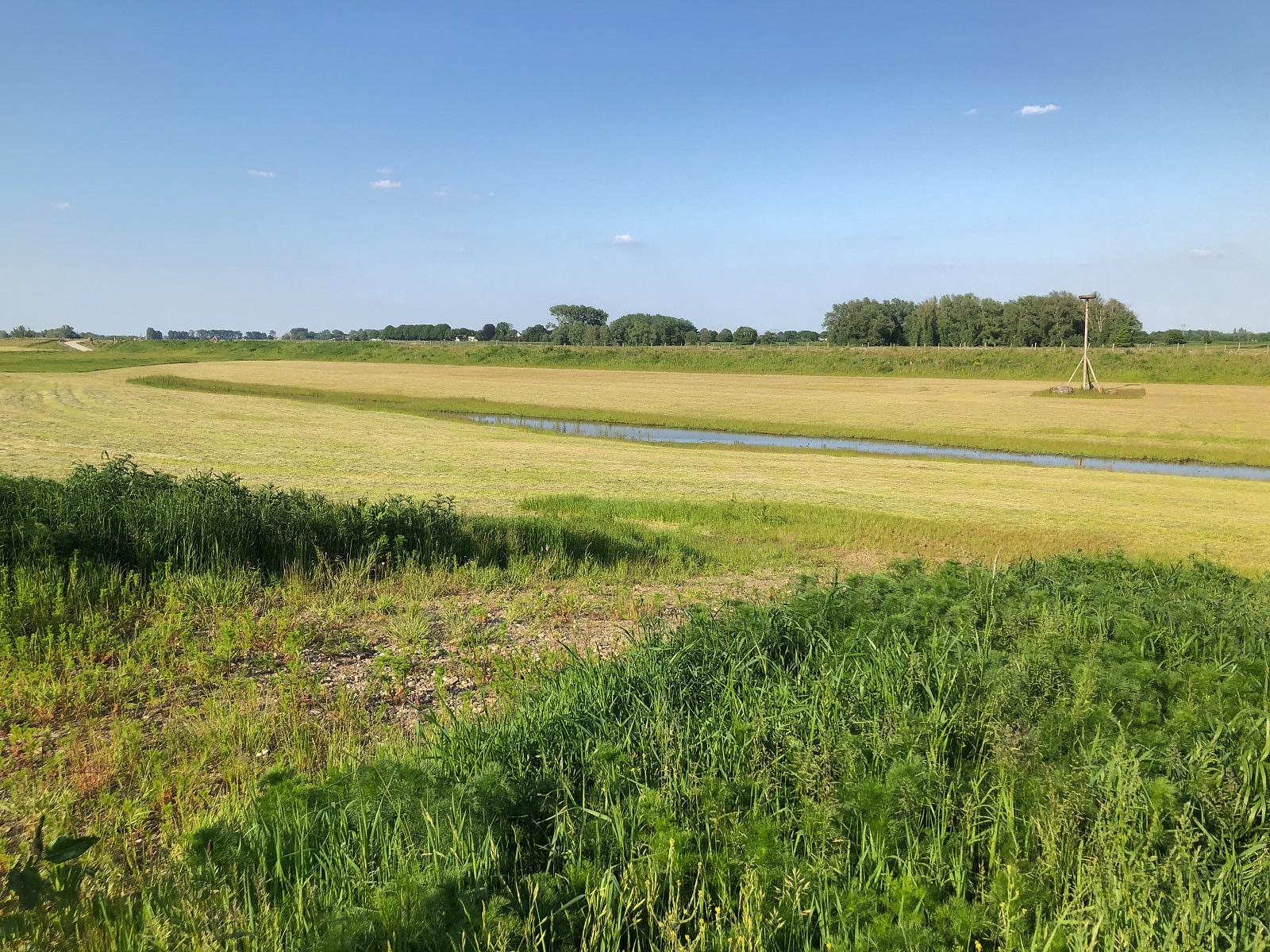
For those looking to explore the new riverside landscape, the orange (7 km) and red (13.8 km) routes are excellent choices. Both routes lead you through beautiful riverside terrain and reach the quaint hamlet of Boyen. The red loop covers all the highlights of the area: wild river scenery, ponds teeming with waterbirds and vast agricultural fields.
With convenient path connectors, you can easily combine different loops to create your ideal hiking route. All routes and information can be found on the ‘Stokkem hiking map’.
Accessibility and parking
Starting point
Parking 10 ‘Visitor Center De Wissen’: Negenoordlaan 2, 3650 Stokkem (Dilsen – Stokkem)
Additional entry points
Parking 9 ‘Oude Maas’: Vissersstraat, 3650 Oud – Dilsen (Dilsen – Stokkem)
Parking 11 ‘Tugelaplein’: Tugela, 3650 Stokkem (Dilsen – Stokkem)
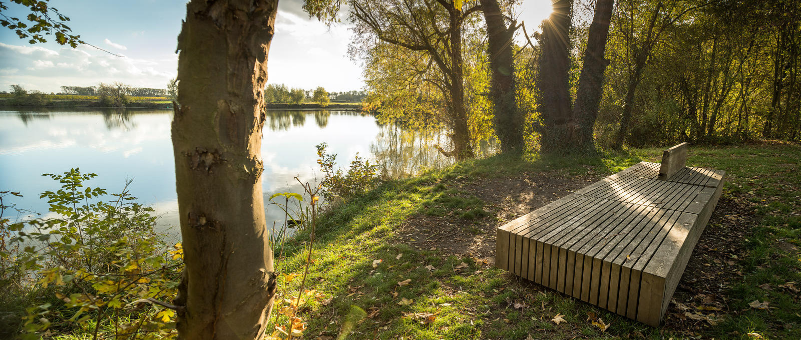
Nature along your way
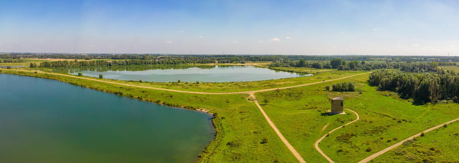
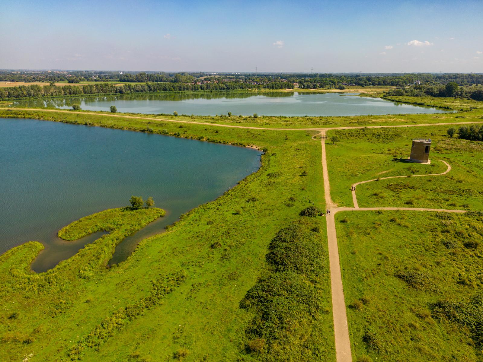
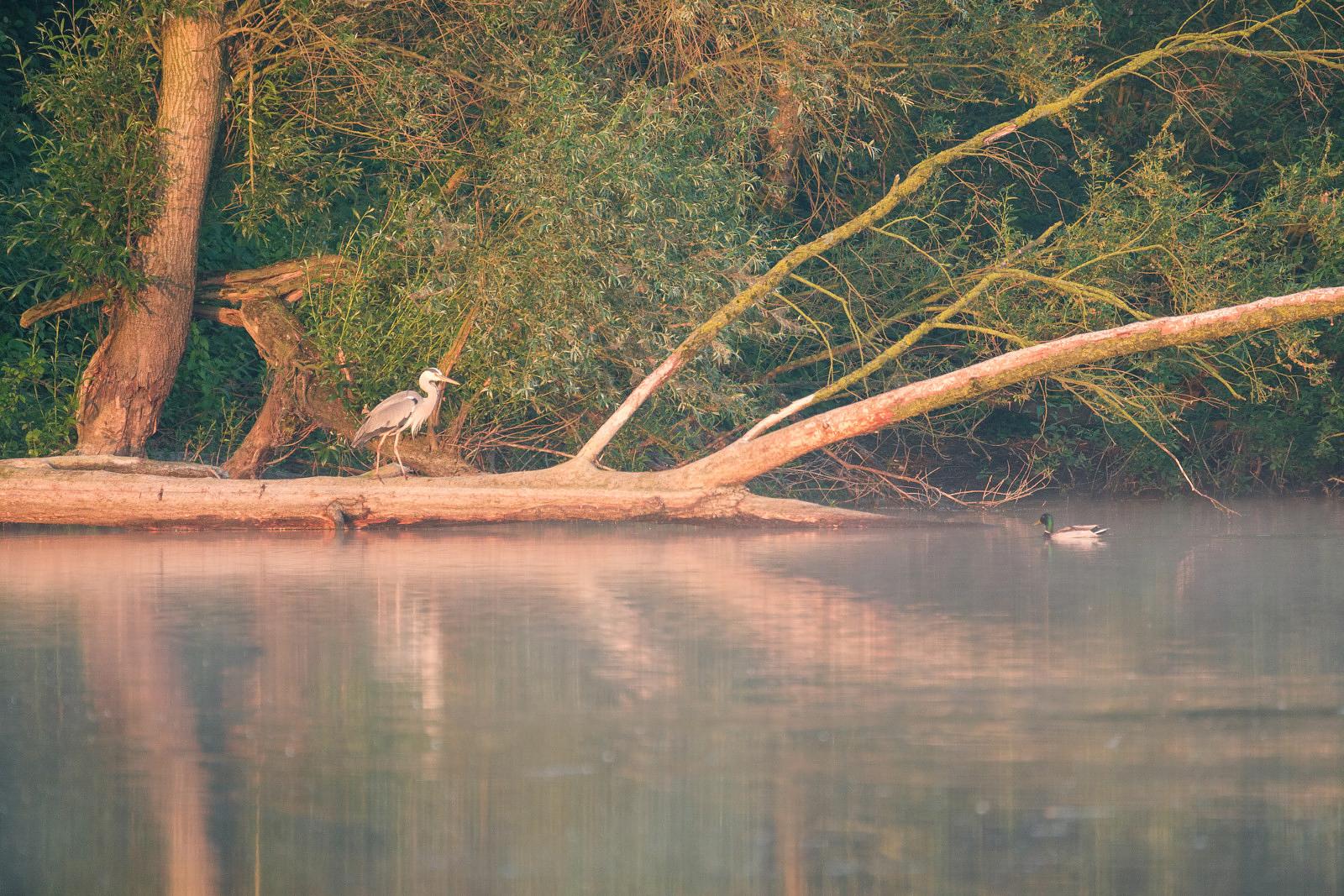
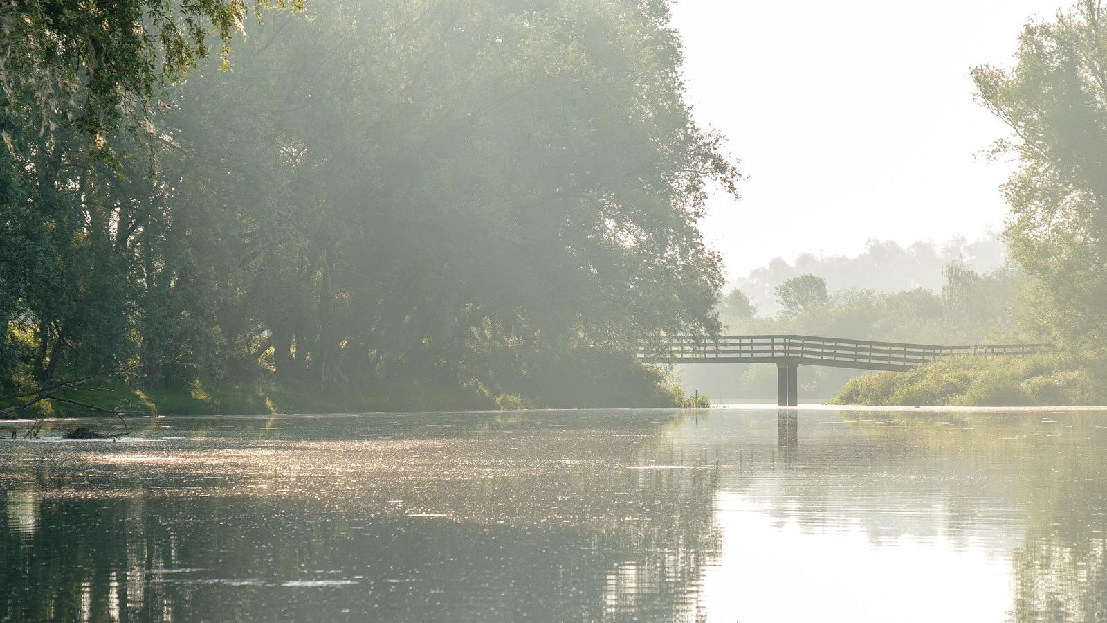
The Stokkem hiking area showcases a varied riverside landscape. For birdwatchers, the ponds in the Negenoord-Kerkeweerd nature reserve are a must-see. Choosing the Stokkem hiking area also means walking along dikes rich with wildflowers and herbs, and encountering the historic meanders of the old Meuse River. The Old Meuse in Dilsen is one of the most striking meanders in RivierPark Maasvallei, and the villages of Stokkem and Oud-Dilsen are steeped in Maasland heritage.
The charming hamlet of Boyen lies at the edge of the riverbed, surrounded by agricultural fields.
Negenoord – Kerkeweerd
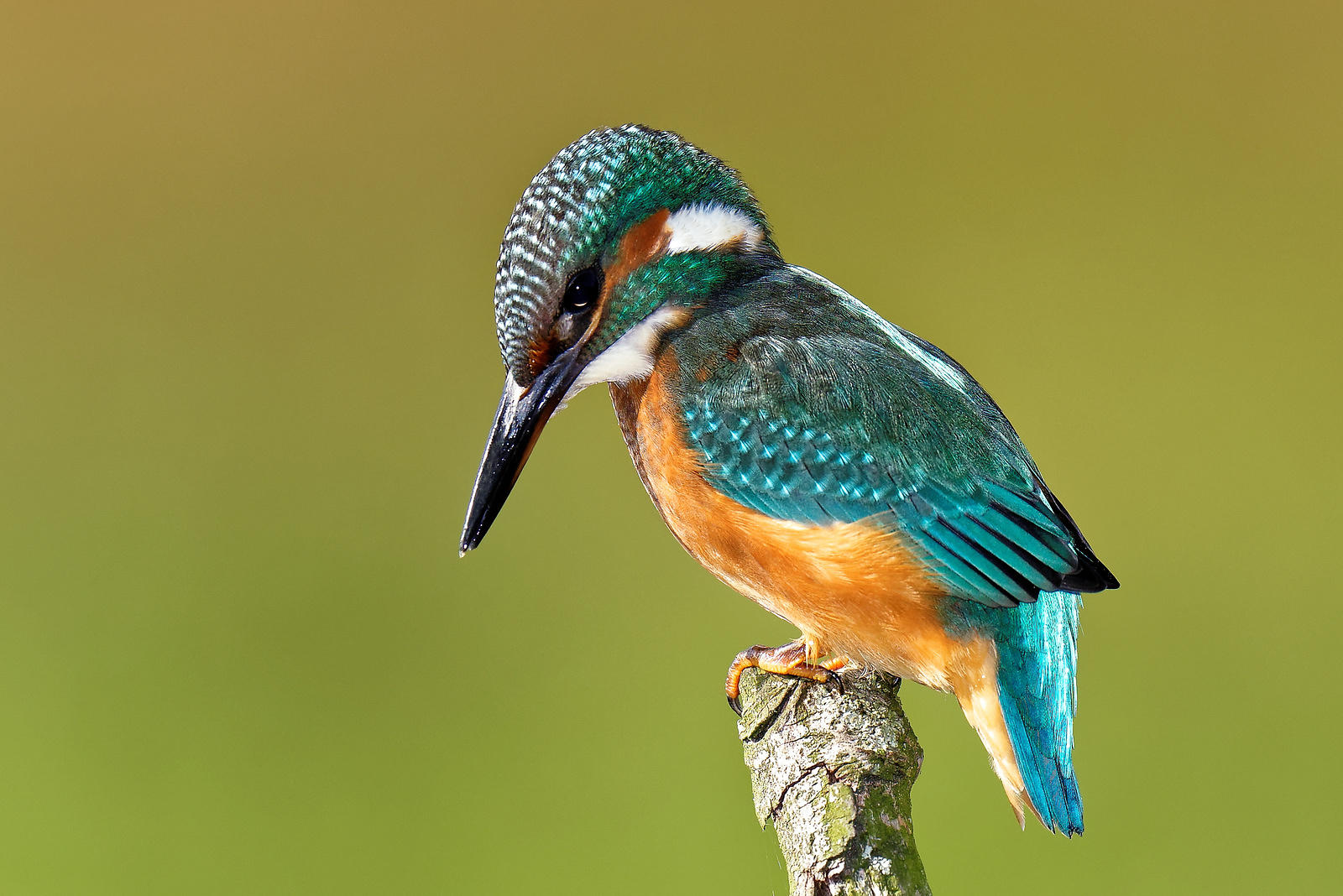
This area is a haven for birdlife, with many wading birds, small songbirds, and species like the yellowhammer, stonechat and nightingale. Even several pairs of kingfishers nest here. The ponds are bordered by ecologically rich banks, forming a colourful, plant-rich mosaic of grasslands and willow or floodplain forests. Managed by Limburgs Landschap, the area is grazed by Galloway cattle and Konik horses to maintain the natural landscape.
Kerkeweerd is one of the most plant-diverse sites along the Meuse. The terrain, shaped into a V-shaped pond after gravel extraction, filling and occasional Meuse flooding, is situated within the riverbed and floods at high water, dispersing seeds that blossom into a vibrant floral display each spring.
The two Negenoord ponds, also created by gravel extraction, were restored as part of De Vlaamse Waterweg’s flood protection project, allowing the area to return to its “wild” natural state. Limburgs Landschap manages it with year-round grazing by Galloways and Koniks, helping to maintain grasslands, shrubs and floodplain forests.