

© AusilioPhotography
Obbicht and Grevenbicht hiking area
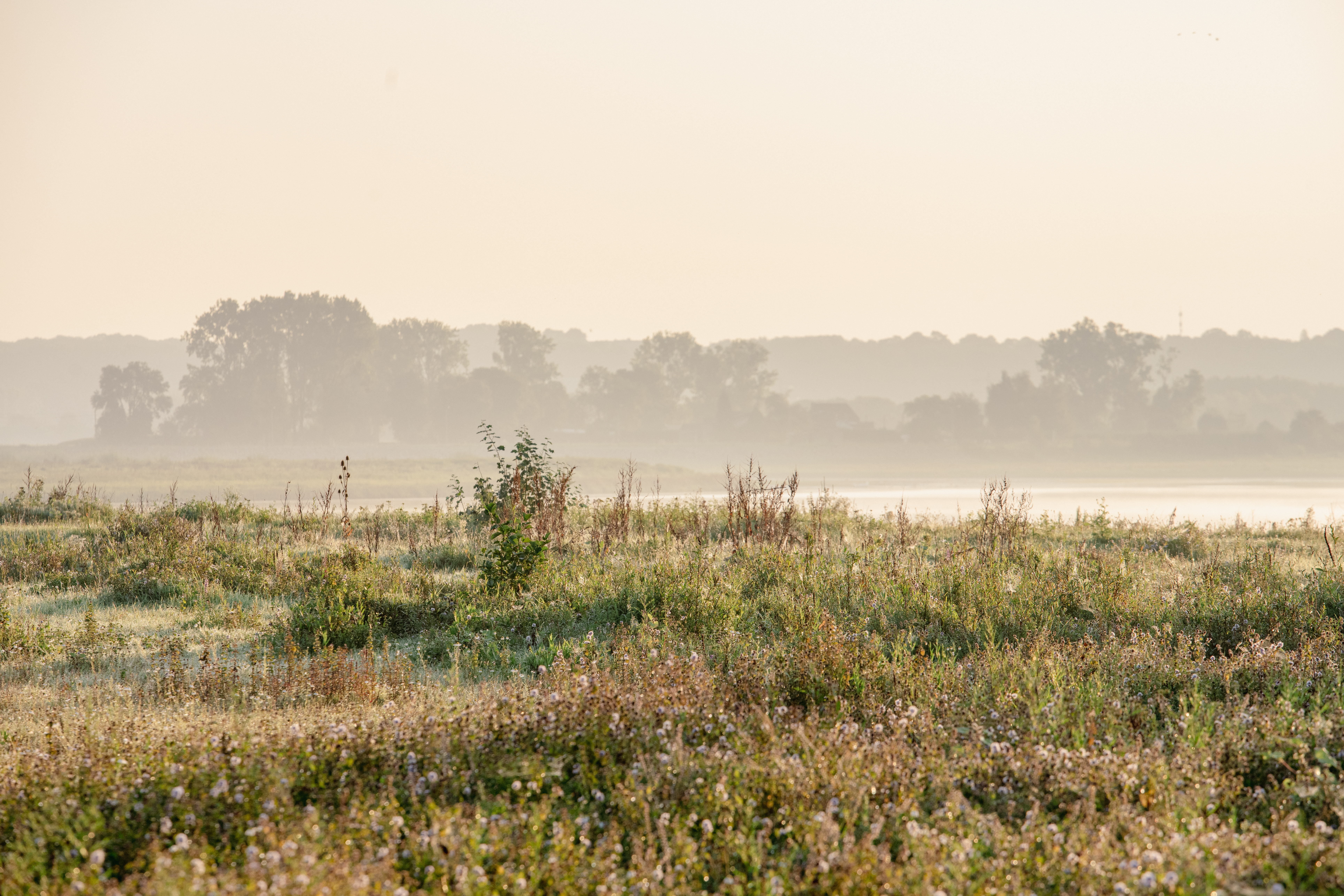
The nature reserves around Grevenbicht and Obbicht were created following river-widening works designed to give the Meuse more space during high water. They are ideal for an adventurous and educational hike along the Meuse. Over the coming years, the area will be further developed into a model site where wild riverine nature is given plenty of space to thrive.
Hiking
In the Meuse villages in the Netherlands, you can go for a hike using the junction system. Using numbered junctions, you can put together your own route. This means you decide for yourself how long your hike will be.
For those who prefer to follow a pre-planned route, there are also a few suggested routes in the villages of Grevenbicht and Obbicht:
- Ommetje Grevenbicht-Obbicht: (8km, route here below): a varied hiking route through the villages and along the River Meuse.
- Roman hike Bicht (8km): The hike starts at junction 14, Boulevard, by the well. Along the way, you’ll find route instructions and information boards telling you more about the Roman history of this area.
- Hiking route Grevenbicht langs Obbicht (10,4km): a hiking route from Visit Zuid-Limburg. Here, you can walk around the two villages towards the Juliana Canal.
You can find the node network on the website van Visit Zuid-Limburg and on the hiking map Obbicht-Grevenbicht.
Nature along the way
There is plenty of remarkable natural beauty around Obbicht and Grevenbicht. The mouth of the Kingbeek, for example. The Kingbeek rises on the edge of the Graetheide plateau. Flowing through a spring-fed woodland, the village centre of Obbicht and running parallel to the Meuse, it eventually joins the Meuse at Illikhoven. Archaeological finds prove that this area has been inhabited since prehistoric times. The Kingbeek valley is home to unique flora and fauna and forms a small-scale landscape featuring primroses and kingfishers. Its character is quite different from the wild, rugged countryside along the Meuse.
Elba
To the south-west of Grevenbicht, there used to be a wide gravel bank in the Meuse: the island of Elba. The name probably dates back to the Napoleonic era. Following the canalisation of the Meuse in the 19th century, the ‘island’ became completely buried under a thick layer of sand and clay. Since 2020, river widening work has been carried out in this area (Project Grensmaas). Today, ‘near Elba’, you can once again see the river at work with coarse and fine sand. A new gravel bank soon emerged here, exactly where Elba used to be. Be sure to walk past the ‘Op het Schar’ viewing platform, where you can learn more about the Roman presence in this area.
Koeweide
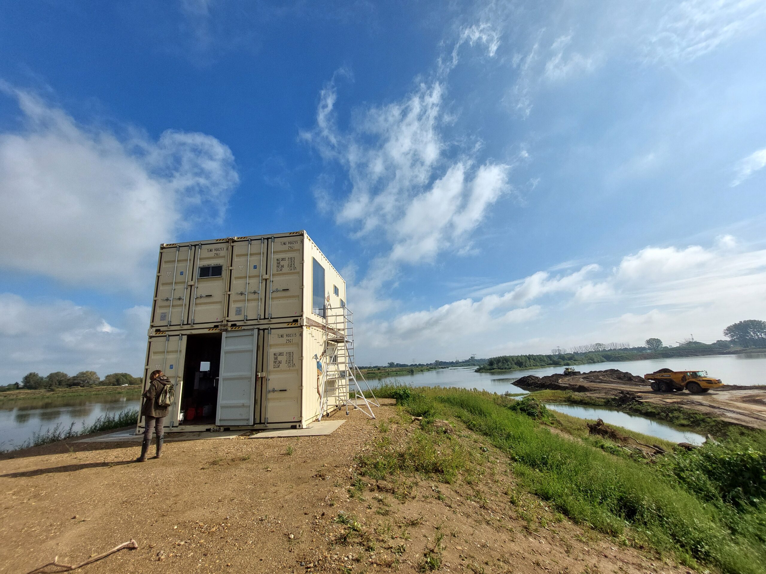
At Koeweide in Grevenbicht, the Beegse Maasvallei Foundation, in collaboration with the nature conservation organisation Natuurmonumenten, has created a birdwatching centre and mini-museum called ‘Den Deyler’, dedicated to the beautiful new natural environment in this area. Information boards and display cases tell you more about the plants and animals that live here and about the early history of places such as Daniëlsweert. A spiral staircase leads you to the viewing point, from where you can spend hours spotting birds undisturbed.
Accessibility and car parks
Starting point
Parking Grevenbicht: Burgemeester Kotenplein (Sittard-Geleen)
Additional entry point
Parking Obbichter Markt, Obbicht (Sittard-Geleen)